Does anyone use other maps other than OS maps? Asking because I came across a Bartholomew map in a car boot sale recently and what a great map! I think it was because the differing contours were colour coded, I'm not sure but there was just something very user friendly and instantly readable about it which is why I suppose, these maps were so popular with cyclists.
Os maps are fine for spreading out on the table at home and pouring over the squiggles but I find them irritatingly cluttered when on the road with the wind blowing.
I actually went onto their site but it seems they no longer do maps for mere mortals any more and it's all geared towards business/ university researchers, etc.
Lastly, this was not written with the intention of provoking OS users!
Maps
Re: Maps
For long distance touring I use the pages from a Phillips motoring atlas (the one with campsites shown). In a polypocket stashed on top of the barbag and the route marked with a highlighter pen.
If at first you don't succeed - cheat!!
Re: Maps
The Bartholomew map was excellent for touring. It gave almost as much detail as the old OS 1" = 1mile but at 1/2" scale one map would cover a whole county. A sad loss. I suppose eventually we will all be expected to become "sat nav" users and map reading will become a lost art.

Re: Maps
Tasker wrote: these maps were so popular with cyclists.
tasker: they still would be, with the tiny handful that still cycle on roads. Barts 1:100000 maps disappeared long before satnav was a twinkle in anyone's eye. I once spoke on the phone to an assistant at Stanford's (yes, Stanford's) who had never even heard of them. For motorists, the scale is much too large, for walkers too small. But for cyclists, as you say, it is just right. But those cyclists don't really exist anymore* - mountain bikers and off roaders need 1:50000 or even 1:25000. Even long distance cyclists often require very large scale maps to negotiate some local cycle path or other. But as you say, it's all going to be satnav soon and the idea of a paper map will be as ridiculous as quill and parchment.
*Not in the numbers they did.
When the pestilence strikes from the East, go far and breathe the cold air deeply. Ignore the sage, stay not indoors. Ho Ri Zon 12th Century Chinese philosopher
-
timmitchell

- Posts: 175
- Joined: 28 Jul 2008, 5:47pm
- Location: Saddleworth, West Riding
- Contact:
Re: Maps
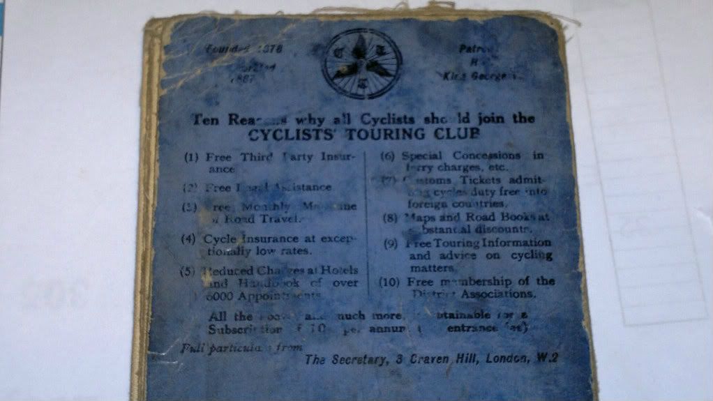
I believe (not sure from where mind?) that Cyclng Clubs - maybe the CTC -? were used by Barts maps to check the accuracy of them - also they fit into a rear pocket on your jersey much easier

Re: Maps
The best OS mapping for (road) touring used to be the OS 1:250k road maps. These were what the Philips road atlases were based on, before Philips started making them simpler by removing. You got the whole of Wales on one sheet. They are a bit lacking in street detail in towns, but make a good companion to a GPS.
Unfortunately the OS stopped publishing them about 3 years ago. They are OpenData now (free dowload) , so I live in hope that some other publisher will produce them again.
Unfortunately the OS stopped publishing them about 3 years ago. They are OpenData now (free dowload) , so I live in hope that some other publisher will produce them again.
Re: Maps
ANTONISH wrote:The Bartholomew map was excellent for touring. It gave almost as much detail as the old OS 1" = 1mile but at 1/2" scale one map would cover a whole county. A sad loss. I suppose eventually we will all be expected to become "sat nav" users and map reading will become a lost art.
I wouldn't fret. A few hundred years ago people doubtless bemoaned the fact that we were all expected to become "map" users and that navigating by the stars and moss on trees would become a lost art.
Re: Maps
http://www.ordnancesurvey.co.uk/oswebsi ... index.html
I have this on my computer. I print off and laminate a map or several at a size of 1/2 inch to the mile or whatever is useful. The data is visible on the move and enough to tour with. Or sometimes I get a road atlas and chop it up. there is one with coloured contours at about 3 miles per inch which is often cheap for last years version.
I have this on my computer. I print off and laminate a map or several at a size of 1/2 inch to the mile or whatever is useful. The data is visible on the move and enough to tour with. Or sometimes I get a road atlas and chop it up. there is one with coloured contours at about 3 miles per inch which is often cheap for last years version.
-
eileithyia
- Posts: 8399
- Joined: 31 Jan 2007, 6:46pm
- Location: Horwich Which is Lancs :-)
Re: Maps
I used a Barts once, never again.... Long story but basically was not meant to be leading club run, club run leader could not but came to start and lent me the map to use (barts)... we got to the tea room, a place I'd not visited before but not the way I had planned to go from the map and on roads that were not on the map!
OS everytime.
OS everytime.
I stand and rejoice everytime I see a woman ride by on a wheel the picture of free, untrammeled womanhood. HG Wells
Re: Maps
eileithyia wrote:I used a Barts once, never again.... Long story but basically was not meant to be leading club run, club run leader could not but came to start and lent me the map to use (barts)... we got to the tea room, a place I'd not visited before but not the way I had planned to go from the map and on roads that were not on the map!
OS everytime.
eileithyia: by OS I take it you mean 1:50000. If my maths is correct that means four times as many maps as Barts 1:100000. We did take OSMs on our last tandem tour but they filled the bar bag and that's quite a bit of weight. It's quite likely too that your Barts was out of date. If I'm correct the last version was the GT map of the 1970s. For a very linear route like LEJOG even Barts are a few too many.
When the pestilence strikes from the East, go far and breathe the cold air deeply. Ignore the sage, stay not indoors. Ho Ri Zon 12th Century Chinese philosopher
-
eileithyia
- Posts: 8399
- Joined: 31 Jan 2007, 6:46pm
- Location: Horwich Which is Lancs :-)
Re: Maps
Horizon the roads we were on were lanes that had certainly been around aeons... and certainly before the Barts had been printed 
Take the point about the amount of maps but have posted them home before now.
Take the point about the amount of maps but have posted them home before now.
I stand and rejoice everytime I see a woman ride by on a wheel the picture of free, untrammeled womanhood. HG Wells

Re: Maps
eileithyia wrote:Horizon the roads we were on were lanes that had certainly been around aeons... and certainly before the Barts had been printed
I've had similar experiences of Barts maps but I grew up with OS Landrangers. Using anything else just doesn't feel right.
High on a cocktail of flossy teacakes and marmalade
Re: Maps
Mention Barts ½" maps and my immediate reaction is "white roads" and "tea stains" Whenever we saw a runs leader examining the map and selecting the white coloured minor roads we knew to expect anything from a reasonably paved surface to a muddy track. Tea stains were the darker brown coloured contours that said we were in for some serious climbing.
I still find that the maps of Scotland give a far better visual indication of the mountain ranges than the OS contour lines but of course have to be used in conjunction with a modern map to see where there may be new roads. (Not that there are many in the most scenic parts of the country)
I still find that the maps of Scotland give a far better visual indication of the mountain ranges than the OS contour lines but of course have to be used in conjunction with a modern map to see where there may be new roads. (Not that there are many in the most scenic parts of the country)